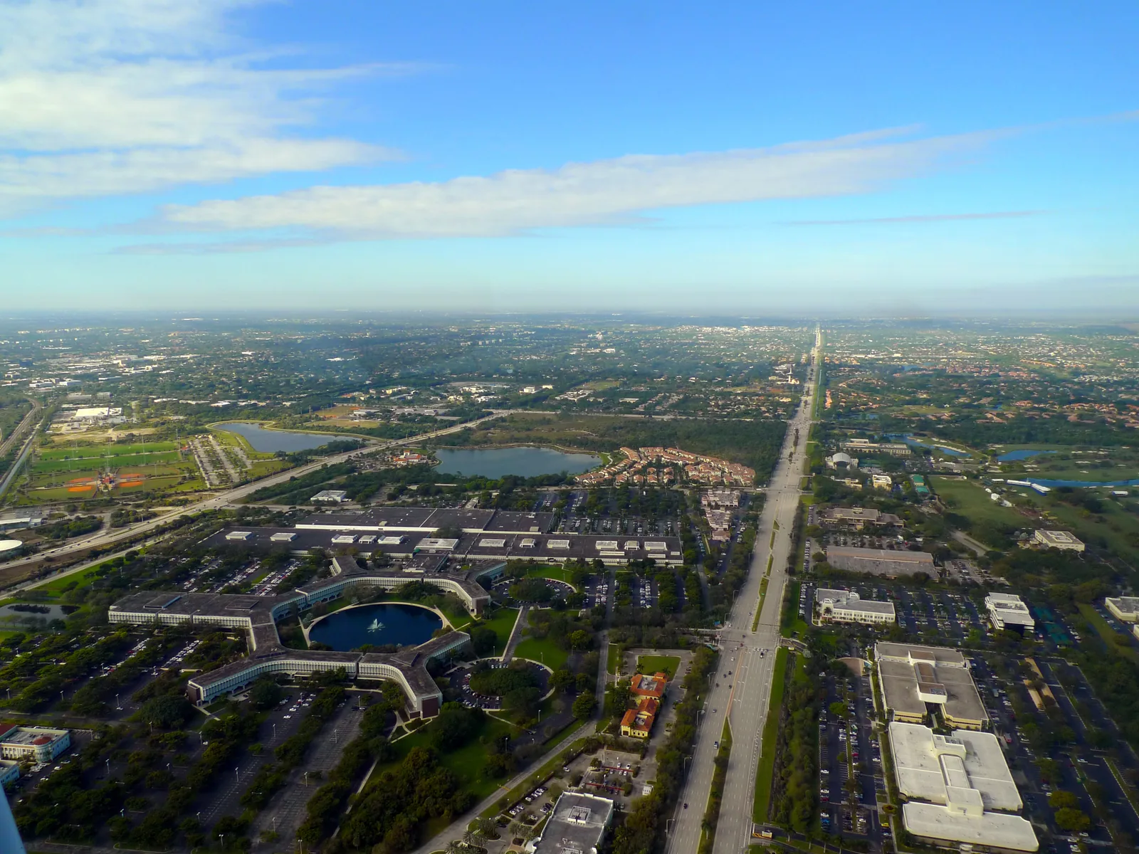
University Park, 488 acres between Jog Road and Military Trail in ZIP code 33496, is zoned for Calusa, Omni and Spanish River, all A schools in 2026.
Last checked Oct. 8, 2026. Sources: Palm Beach County’s subdivision plat layer, the City of Boca Raton’s address points, parks layer and Community Profile (PDF), the School District of Palm Beach County’s attendance boundaries, the Florida Department of Education’s 2026 school grades, Zillow Research, Palm Tran and OpenStreetMap.
University Park is in northwest Boca Raton, north of Yamato Road between Jog Road and Military Trail. OpenStreetMap marks it as a named neighborhood, and Palm Beach County’s plat layer files 22 pieces under the name: the Arvida Country Club plats of University Park, Tanglewood, Harbour Green and Bay Pointe, and four parcels named Broken Sound of University Park. The city’s comprehensive plan names “The Park at Broken Sound/Boca Raton Innovation Campus/Tri-Rail” as the center of its Northwest Planning Area.
What this means for you
- Zoned high school: Spanish River Community High for every address, an A school in Florida’s 2026 grades. Check yours with the district’s Find My School map.
- Home value: $1,053,347 in ZIP code 33496 in August 2026, according to the Zillow Home Value Index.
- Nearest I-95 exit: exit 48B, Yamato Road, about 3.3 miles by road.
Part of our Boca Raton neighborhoods guide.
Where it is
The plats add up to about 488 acres. Yamato Road is the south edge, Military Trail the east and Jog Road the west, and Clint Moore Road crosses the area. A separate older plat, University Park Country Club Estates, lies to the south near Glades Road; it is not part of this page.
The city’s address data has about 377 addresses inside the plats, including 295 single-family homes and 73 addresses classed as multifamily, plus golf course and shared common-area parcels. Every address is in ZIP code 33496.
Schools
How the plats’ addresses fall in the School District of Palm Beach County’s attendance boundary layers (elementary for 2026-27, middle and high for 2025-26), with each school’s 2026 grade from the Florida Department of Education. The percentage is the share of possible points the school earned.
| Level | School | Share of addresses | 2026 grade |
|---|---|---|---|
| Elementary | Calusa Elementary, 2051 Clint Moore Road (report card) | 100% | A (76%) |
| Middle | Omni Middle, 5775 Jog Road (report card) | 100% | A (73%) |
| High | Spanish River Community High, 5100 Jog Road (report card) | 100% | A (81%) |
All three also earned an A in 2025. Spanish River earned the highest share of points of any high school zoned for an area in this guide. Calusa Elementary is on Clint Moore Road at the edge of the area, and Omni Middle and Spanish River are on Jog Road. Zones can change from year to year; the district’s Find My School map is the final word. More in our schools guide.
Home values
The typical home value in ZIP code 33496 was $1,053,347 in August 2026, up 13.2% from $930,296 in August 2025, according to the Zillow Home Value Index. That was the largest rise of the Boca Raton ZIP codes in Zillow’s file. The index is a modeled typical value for the middle third of homes, single-family homes and condos together, not a sale price, and it covers the whole ZIP code, not just this neighborhood. Zillow’s citywide Boca Raton figure was $576,824, up 3.7%. More in our home prices guide.
Parks and trails
From the city’s parks layer:
- Patch Reef Park, 2000 NW 51st St. (Yamato Road), about a fifth of a mile from the area, with 17 lighted tennis courts, three lighted basketball courts, a playground, ball fields, a community center and restrooms.
- Boca Tierra Park, 2601 NW 43rd St., about a third of a mile away, with a playground, two tennis courts, basketball and restrooms.
- Pondhawk Natural Area, 1550 Yamato Road, about a third of a mile away.
More in our parks and trails guide.
Getting around
- I-95: exit 48B, Yamato Road, about 3.3 miles by road from the middle of the area, or exit 50, Congress Avenue, about 3.4 miles, according to FDOT’s exit list.
- Florida’s Turnpike: exit 75, Glades Road, about 4.7 miles, according to the Turnpike map (PDF).
- City Hall: about 6.7 miles.
- Airports: about 24.1 miles to Palm Beach International and about 27.4 miles to Fort Lauderdale-Hollywood International.
- These are distances on the OpenStreetMap road network, measured with the OSRM routing engine, not drive times.
- Bus: Palm Tran routes 2 and 3 pass the area’s edge, according to the routes as mapped on OpenStreetMap; Palm Tran describes route 3 as its Military Trail route.
More in our getting around guide.
Groceries and everyday stores
From OpenStreetMap, all within about a third of a mile:
- CVS Pharmacy, 2901 Clint Moore Road
- Walgreens
- Publix, 5050 Champion Blvd.
- Publix, 3003 Yamato Road
How we drew this area
This page joins the 22 plat pieces in Palm Beach County’s plat layer whose names include “of University Park” or “University Park” with the Arvida Country Club plats. Address counts come from the city’s address points inside them, matched to the district’s boundary layers on Oct. 8, 2026. Store and road locations are © OpenStreetMap contributors.
Frequently asked questions
What schools serve University Park in Boca Raton?
Every address in the University Park plats is zoned for Calusa Elementary, Omni Middle and Spanish River Community High in the School District of Palm Beach County’s boundary layers. All three earned an A in Florida’s 2026 school grades.
What ZIP code is University Park in?
- Zillow put the typical home value in that ZIP code at $1,053,347 in August 2026, up 13.2% on the year, the largest rise of any Boca Raton ZIP code in the file; the figure covers the whole ZIP code.
Is Broken Sound part of University Park?
Several pieces are. Palm Beach County’s plat layer files four parcels as Broken Sound of University Park, alongside the Arvida Country Club plats of University Park.
How far is University Park from I-95 and the Turnpike?
About 3.3 miles by road to I-95 exit 48B, Yamato Road, and about 4.7 miles to Florida’s Turnpike exit 75, Glades Road, measured on the OpenStreetMap road network.
Have your say